Mangareva
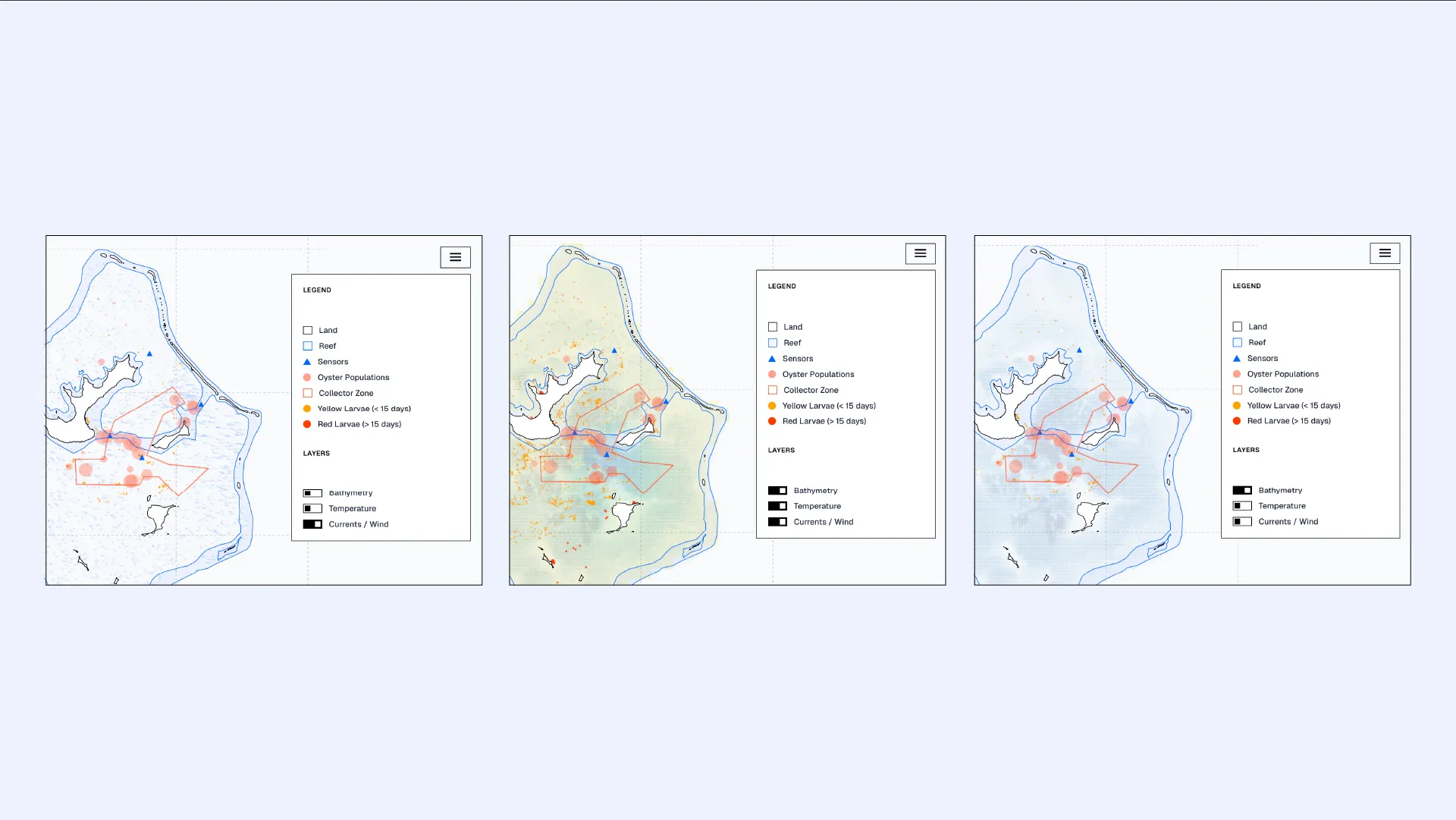
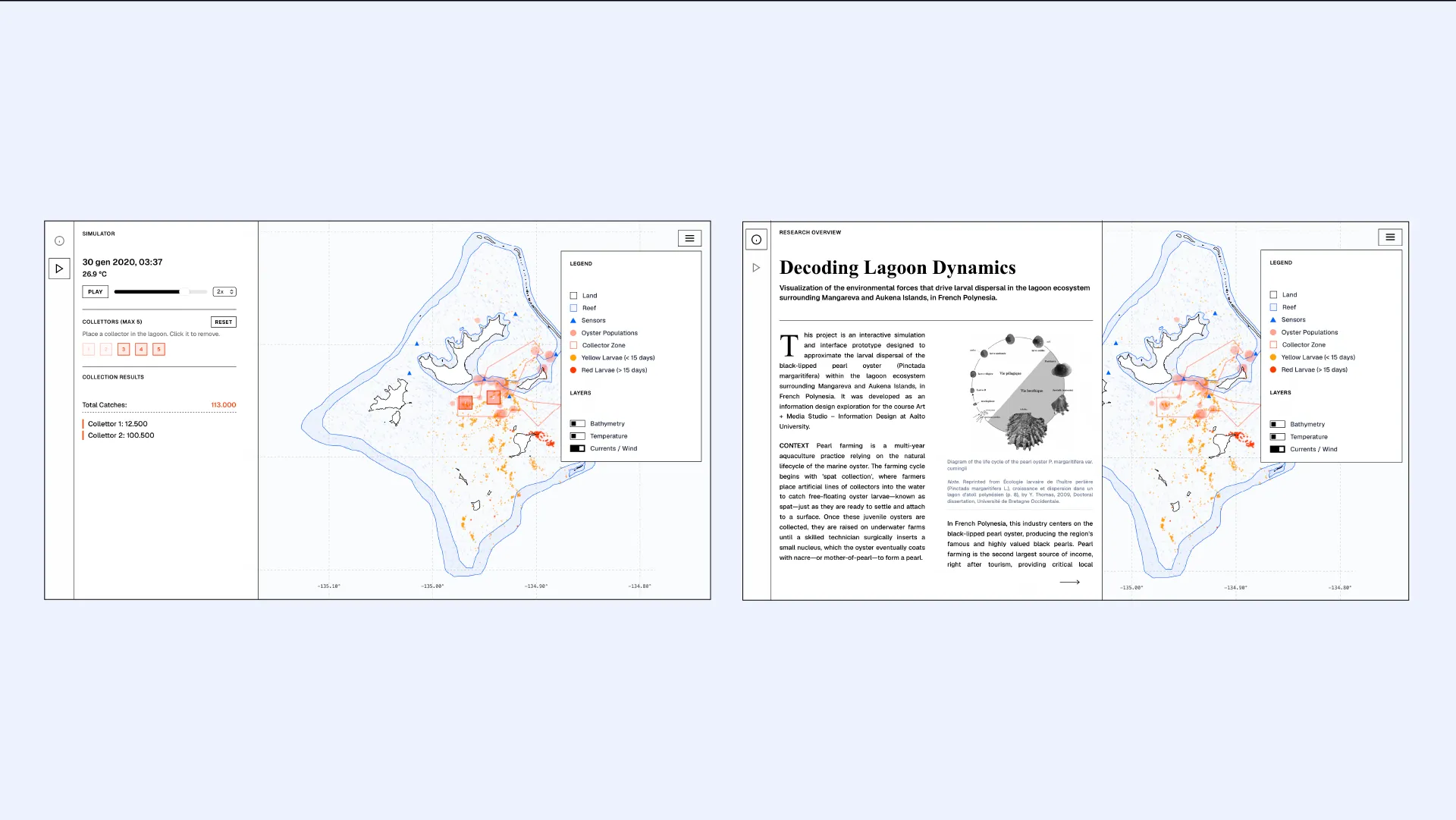
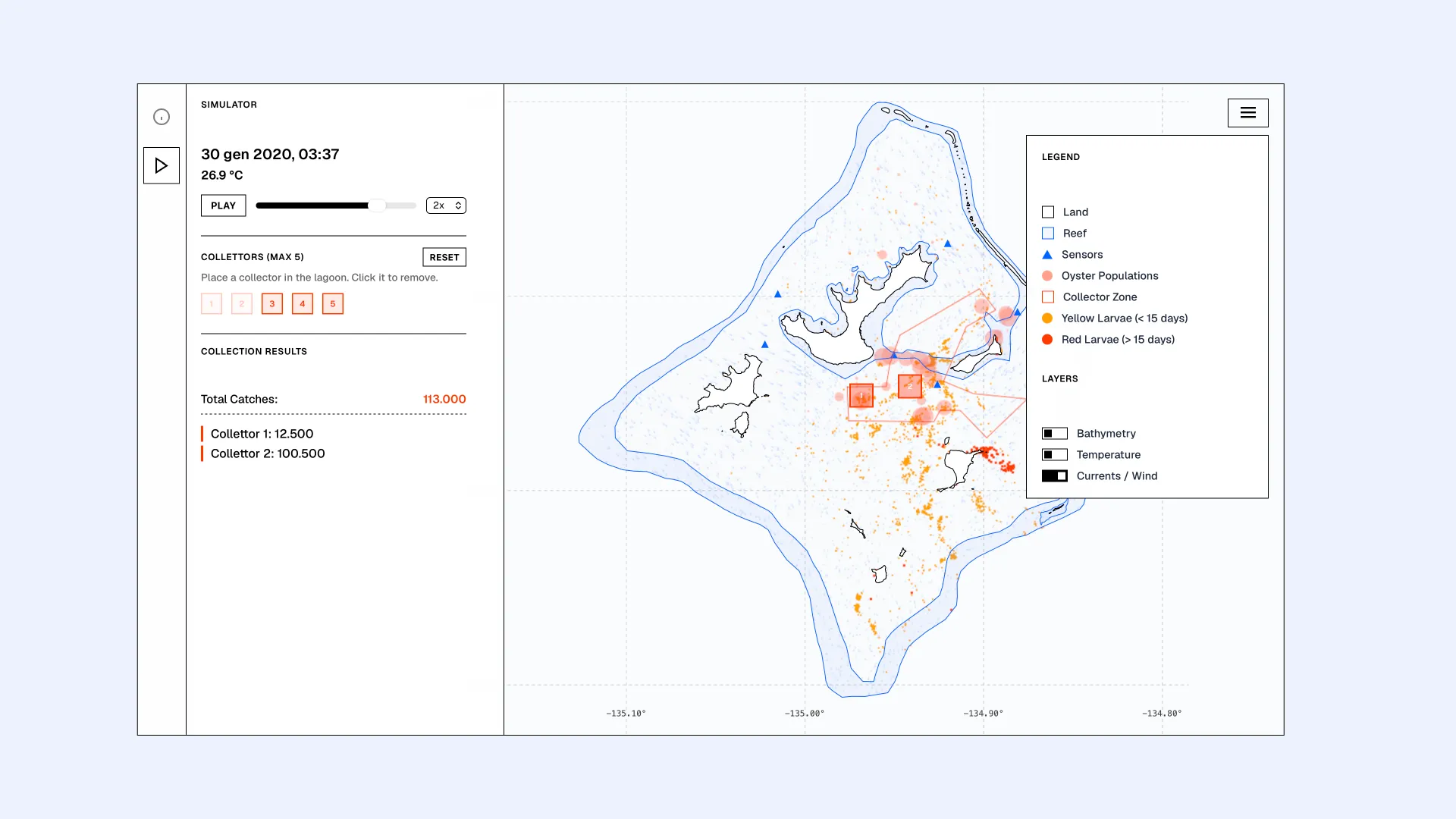
Mangareva is an interactive simulation and interface prototype that visualises the larval dispersal of the black-lipped pearl oyster in French Polynesia. Users can explore the lagoon ecosystem of the Mangareva and Aukena Islands by placing up to five artificial collectors, simulating how environmental factors impact the success or failure of different pearl harvesting strategies.
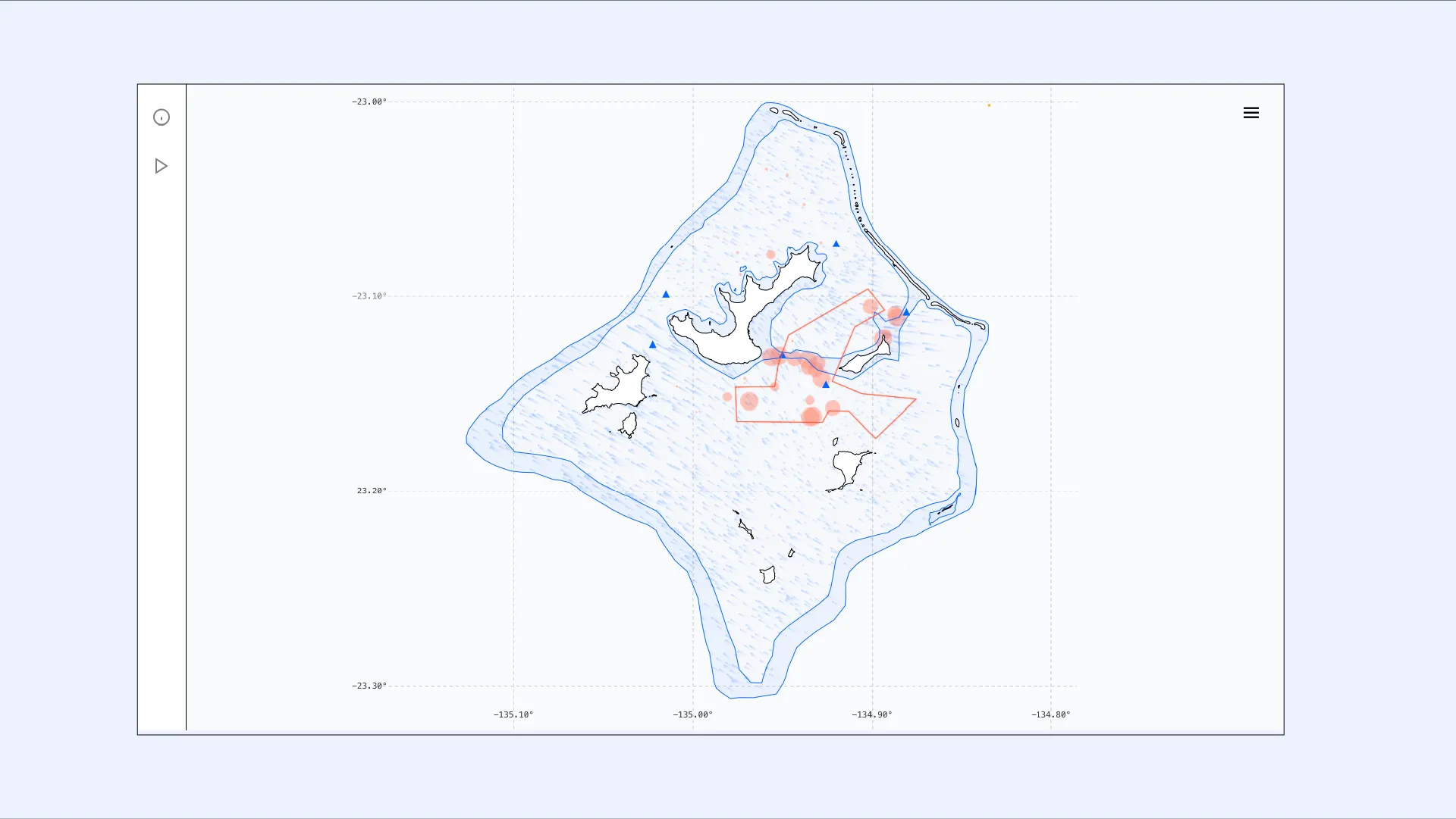
The simulation is built upon real-world oceanographic data generated during the MANA Project’s campaign in the Gambier Islands. Specifically, it utilises currents and temperatures recorded by a network of in situ sensors between October 2019 and February 2020. This dataset is spatialised over a custom map constructed from high-resolution bathymetric data sourced from the SEANOE platform and OpenStreetMap geographic coordinates.
By transforming abstract scientific measurements into an interactive visualization, the project’s goal is to highlight the vulnerability and environmental instability of coastal communities facing climate change using a hands-on approach to the issue.